Fotboll, cheese, Stieg Larsson, almond potato
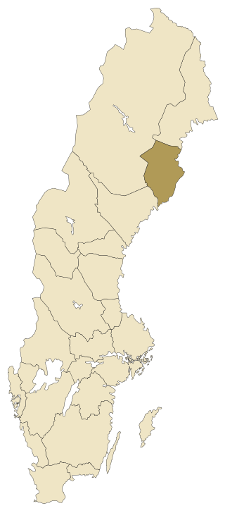
Västerbotten is located in Norrland (northeastern Sweden), being with its ca 15 540 km² (3,8% of the whole country) the 9th (of 25) biggest province. The province includes only 1 county and it belongs to the diocese of Luleå. It has a population of ca 224 670 inhabitants (12th place of 25), thus having a density of 14,5 inhabitants/km².
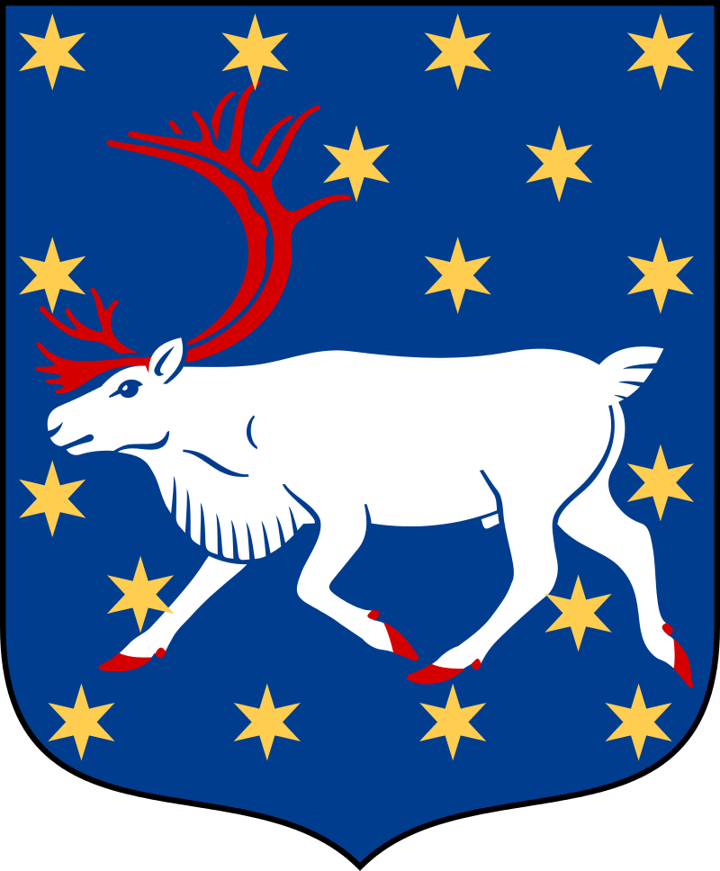
The highest point is Åmliden in Norsjö kommun (northeastern Västerbotten) with 551 m and the biggest lake is Bygdeträsket (ca 29,5 km², altitude of 131 m), located in the central-east. The plant symbol of the province is Kung Karls spira (lit. King Charles’ sceptre) and the animal symbol is the Eurasian curlew (storspoven). Other symbols: the hen harrier bird (blå kärrhöken), the European river lamprey fish (flodnejonögat), the big black beetle insect (större svartbaggen), the apple sort White Transparent (Transparente blanche), the fungus the gypsy mushroom (rimskivling), the rusty bogmoss (rostvitmossa), the rock type chalcopyrite (kopparkis) and the element of gold (guld/Au).
Source: https://upload.wikimedia.org/wikipedia/commons/3/3e/Sverigekarta-Landskap_V%C3%A4sterbotten.svg
Source: https://upload.wikimedia.org/wikipedia/commons/0/0f/V%C3%A4sterbottens_vapen.svg
Västerbotten consists of only one county, Västerbotten county (län), with 9 municipalities (kommuner), 30 registration districts and 56 urban areas. The biggest city in Västerbotten and the residence of the county is Umeå with ca 88 205 inhabitants.
Here you can find information from every municipality in Västerbotten. Click on the name in order to go further and read more about places to visit and things to do in Västerbotten.
Följ min blogg
Få nytt innehåll direkt till din inkorg.
