Haparanda
Source: https://upload.wikimedia.org/wikipedia/commons/c/cd/Haparanda_Municipality_in_Norrbotten_County.png

Source: https://upload.wikimedia.org/wikipedia/commons/2/23/Haparanda_vapen.svg
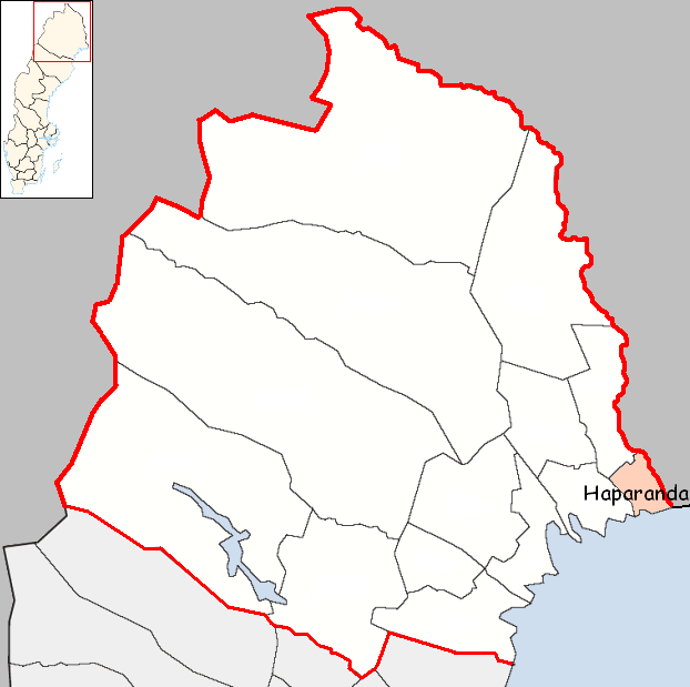
The municipality of Haparanda has a surface of ca 1 888 km² and a population of ca 9 700 inhabitants. Haparanda kommun has a border with Finland and is also Sweden’s easternmost municipality, the islet of Kataja (the islet is divided between Sweden and Finland) being Sweden easternmost point (the easternmost point of the mainland is though the river Torne/Torneå, which also marks the border between Sweden and Finland). It was created in 1971 and its residence is the town of Haparanda. The municipality has 2 registration districts and 4 urban areas.
Here you can access the municipality’s home page:
Följ min blogg
Få nytt innehåll direkt till din inkorg.
